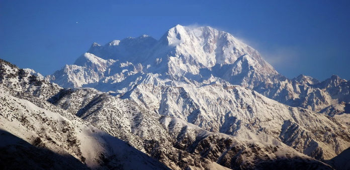
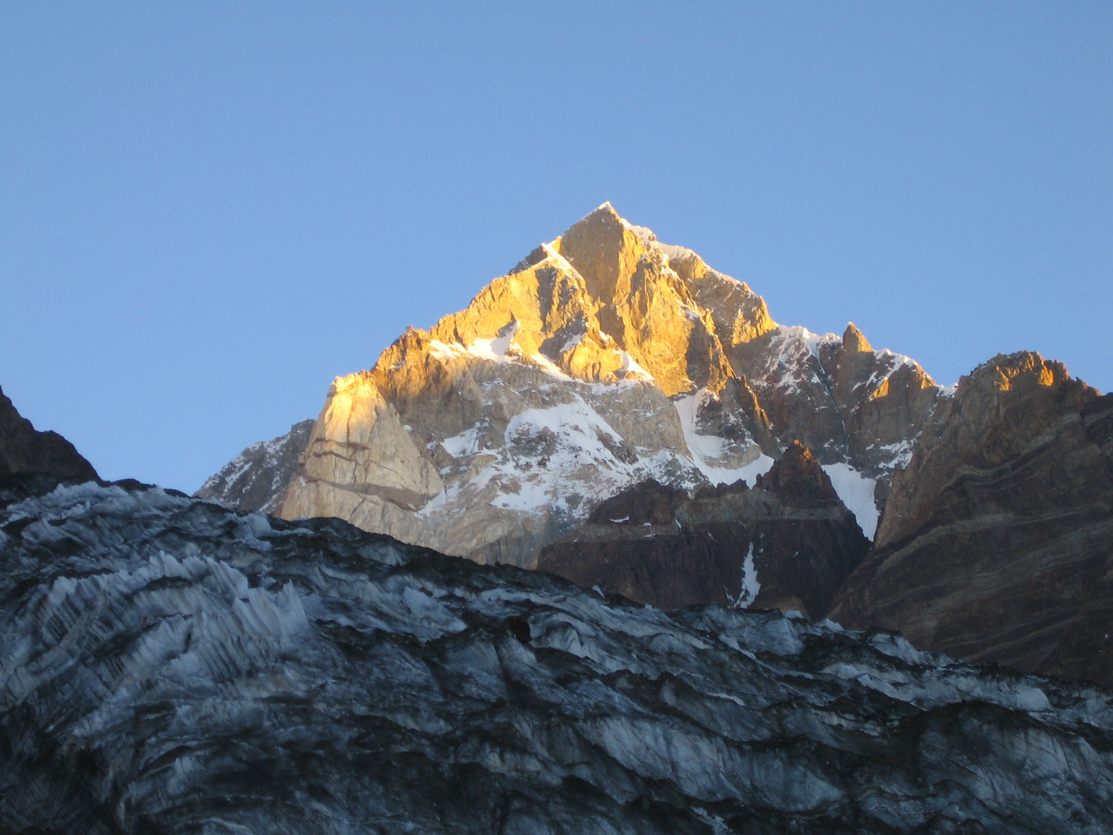
Terichmir
7708m
Tirich Mir (alternatively) Terich Mir or Terichmir is a chain of several peaks; all above 7000m. Tirich Mir overlooks from Chitral town and can easily be seen from many villages of Chitral. Tirich Mir 7708m is the highest peak in the whole of Hindukush mountain range of Chitral-Pakistan.
Noshaq
7492m
Noshaq peak 7492m is an independent mountain on the border with Afghanistan and the 4th highest peak of the Hindukush range after Tirich Mir west II 7500m. Noshaq is located in the North Eastern border, which marks the border with Pakistan. Only the west peak, Noshaq West 7250m stands on the Pak-Afghan border,

Istor o Nal
7403m
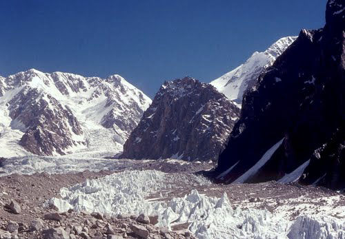
Istor o Nal is the 3rd highest mountain in the High Hindu Kush range, in the Chitral District of Pakistan. It is the 68th highest independent peak in the world. It crowns a massif with 11 peaks of elevation more than 7000 m (22986ft). The peak is located a few kilometers north of Tirich Mir
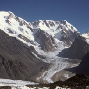
Saraghrar
7349m
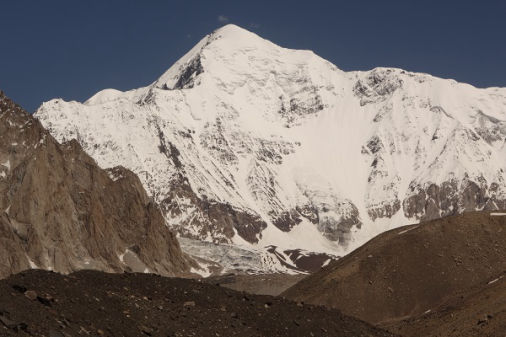
Saraghrar is a group of the 4th highest independent massif in the Hindukush mountain range of Chitral-Pakistan. The entire Saraghrar massif is a huge, irregular stretched plateau at elevation around 7000m (22966ft), lying above vertical granite and ice faces, which protect it all around
Shingeik Zom
7291m
Shingeik Zom 7219, is situated between Nobaisun Zom and Noshaq Peak. It is also called " Smoking Mountain". It is approachable by the Noshaq route. The peak was 1st climbed by Bavarian - Chitral expedition 1966, the expedition was led by ThomasTrubswetter. Two members of the expedition Mrs. Trubswetter and Konard Holch.
Shakaur
7116m
Shakaur 7116m was first summitted by an Austrian Expedition through Udren valley. It was summitted in the following years by French 1972, Polish 1973, Czech 1975 and Italian 1992 from different routes. The Roshgol valley route has never been tried so far, whereas it is the shortest one and takes only two days
Langutai Barfi
7017m
Langutai Barfi 7017m was twice attempted by Polish Expeditions from the North Face without success that's why there are two opinions about its actual height. It is generally believed to have an altitude above 7000m or 7017m. Its South Face presents ideal alpine style climb via Roshgol Glacier - Terich Valley, but no climber
Gul Lasht Zom
6665m
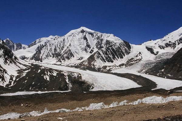
Gul Lasht Zom is a snowy pinnacle easily visible from any vantage point on the Terich Glacier from the Shagrom side. It lies in the Hindukush range of Pakistan. It offers easily climbing route and was first climbed in 1969 by Kurt Diemberger of Austria.
Buni Zom
6551m
Buni Zom group is a prominent mountain area of Chitral, in the Hindukush Range of Pakistan. It rises about 50km North East of the town of Chitral, and about 50km East of Tirich Mir 7708m, the highest peak of Hindukush.
In 1957, the New Zealanders...
Raghshur
6089m
Raghshur 6089m is an independent peak of Hindukush-Pakistan. It stands just a few Kilometres away from Shagrom, the uppermost village of Terich valley-Chitral. Its east face is steep and rocky and the western side is suitable for climbing. It is accessible via Udren Gol.
The first known attempt on Raghshur 6089m was in August 1974 by a 10 members Italian Expedition, which was led by Edoardo Genero and was supported by Club Alpino Italiano, Section Pinerola.